South Staffordshire
Review History
This timeline shows the key stages of the review process:
Councillor numbers
We decide how many councillors an authority should have.
Initial consultation
We ask local people and organisations to tell us about their communities.
Consultation on proposals
We consult with local people and organisations to help us refine our proposals.
Final report
Our recommendations for new electoral and boundary arrangements.
Making our recommendation into law
We ask Parliament to approve our recommendations.
We review the electoral and boundary arrangements of councils to make sure they are fair. Our reviews include at least two rounds of public consultation before we make recommendations for change.
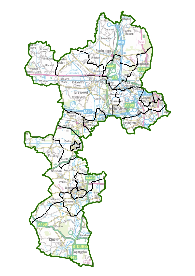
We are carrying out an electoral review of South Staffordshire because it has been a long time since the last review.
Latest Information
Making our recommendation into law
Our recommendations have become law
The South Staffordshire (Electoral Changes) Order 2022 was made on 9 November 2022.
Officers within the council will now make sure the new arrangements are in place for elections held after May 2023.
Parliamentary scrutiny of our recommendations
A Draft South Staffordshire (Electoral Changes) Order 2022 was laid in Parliament on 14 July 2022.
If there is no successful objection by a member of the Commons or Lords within 40 parliamentary sitting days the draft Order will become law.
Previous stages
Final report
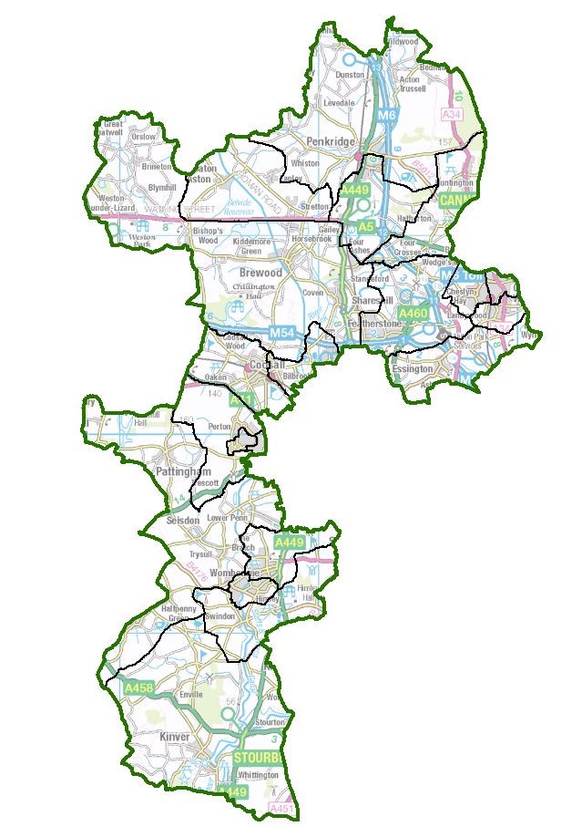
Our recommendations for new electoral and boundary arrangements were published on 1 November 2022.
Consultation on proposals
Consultation on proposals
We have proposed a new pattern of wards. We want to hear the views of local people and organisations to help us produce our recommendations for change.
Initial consultation
Initial consultation
We ask local people and organisations to tell us about their communities.
Councillor numbers
We have decided that South Staffordshire District Council should have 41 councillors.
Previous Reviews
Previous reviews are held on the UK Government Web Archive