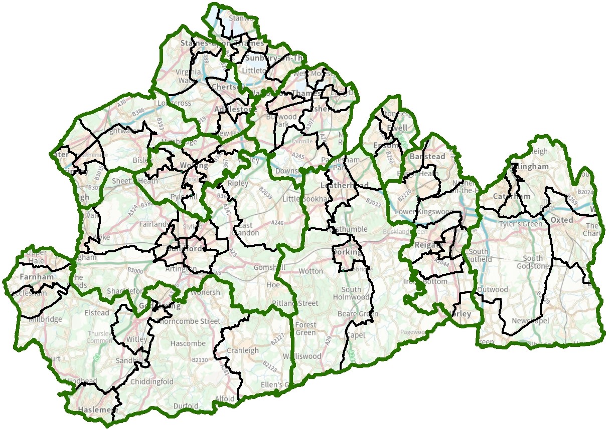
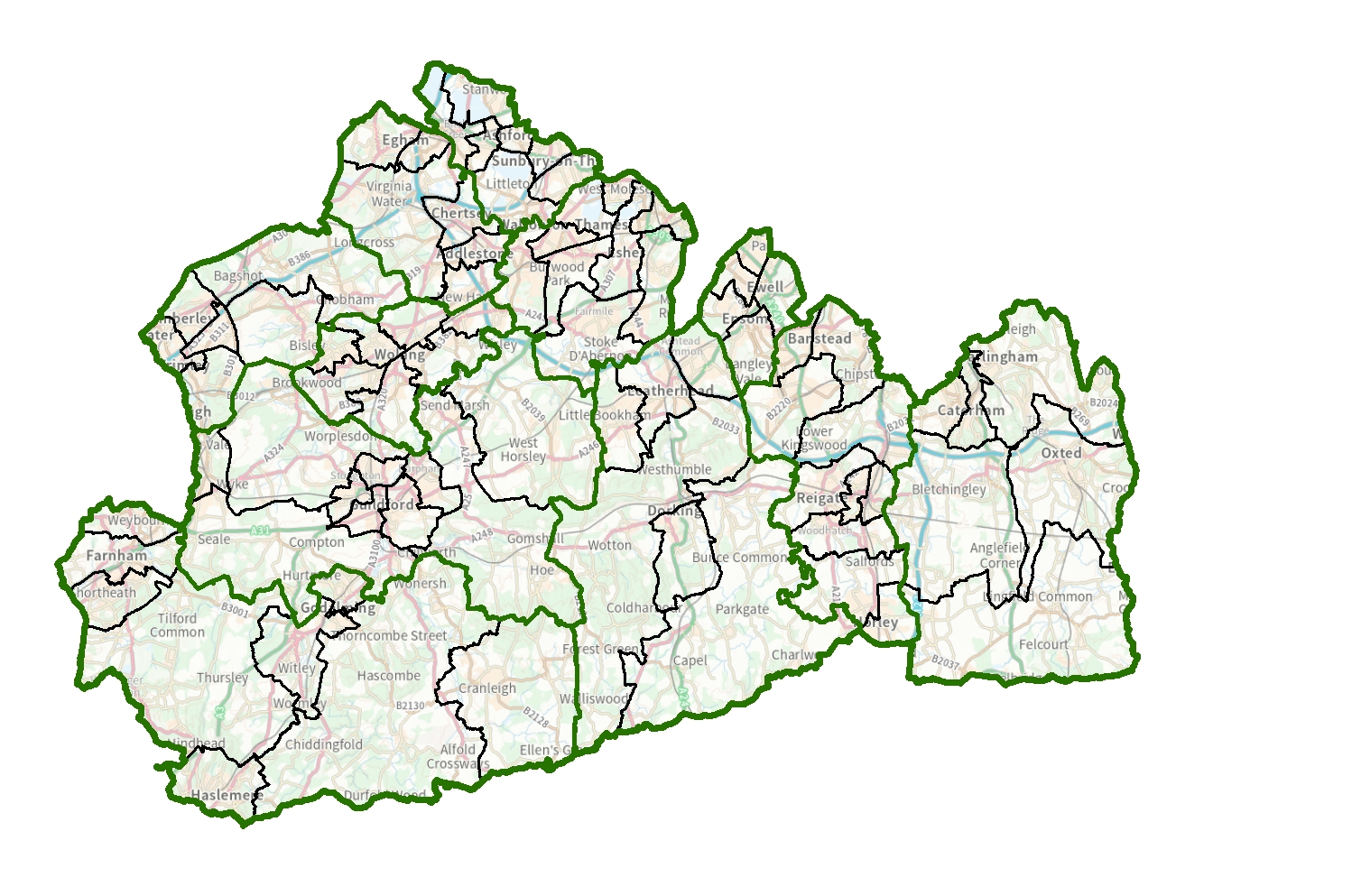
Surrey
Review History
This timeline shows the key stages of the review process:
Councillor numbers
We decide how many councillors an authority should have.
Initial consultation
We ask local people and organisations to tell us about their communities.
Consultation on proposals
We consult with local people and organisations to help us refine our proposals.
Consultation on revised proposals
We consult on revisions to our original proposals.
Final report
Our recommendations for new electoral and boundary arrangements.
Making our recommendation into law
We ask Parliament to approve our recommendations.
We review the electoral and boundary arrangements of councils to make sure they are fair. Our reviews include at least two rounds of public consultation before we make recommendations for change.
We are carrying out an electoral review of Surrey because it has been a long time since the last review.
| 28 February 2023 | We decide how many councillors there should be |
| 28 February - 8 May 2023 | We carry out an initial public consultation on communities |
| 8 August - 16 October 2023 | We carry out a public consultation on our proposals |
| 30 January - 12 March 2024 | We carry out a limited further public consultation on our proposals |
| 14 May 2024 | We publish our recommendations |
| 25 July 2024 | We ask Parliament to approve our recommendations |
| May 2026* | New arrangements apply to local elections |
* 2025 elections for Surrey have been postponed to 2026 by The Local Authorities (Changes to Years of Ordinary Elections) (England) Order 2025.
Visit our 'How reviews work' pages for more information on the review process.
Latest Information
Making our recommendation into law
Effective date
The Surrey (Electoral Changes) Order 2024 was made on 12 November 2024.
Previous stages
Final report
Our recommendations for new electoral arrangements were pubished on 14 May 2024.
As a result of our final recommendations, we are making changes to the electoral arrangements for the following parish/town councils:
Consultation on revised proposals
From 30 January 2024 to 12 March 2024, we are accepting opinions and comments from the public on revised draft recommendations for Surrey County Council, in the area of Elmbridge.
The consultation focuses on new proposals for division boundaries in the following areas:
- Cobham & Oxshott South
- Esher, Claygate & Oxshott North
- East Molesey & The Dittons
Consultation on proposals
We have proposed a new pattern of divisions. We want to hear the views of local people and organisations to help us produce our recommendations for change.
As a result of our final recommendations on new warding patterns, we are making changes to the electoral arrangements for the following parish/town councils:
Initial consultation
We ask local people and organisations to tell us about their communities.
Councillor numbers
We have decided that Surrey County Council should have 81 councillors.
Previous Reviews
Previous reviews are held on the UK Government Web Archive